

-
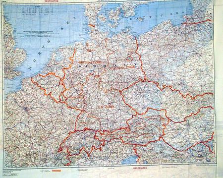
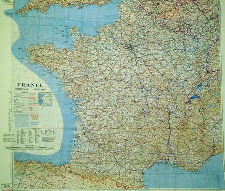
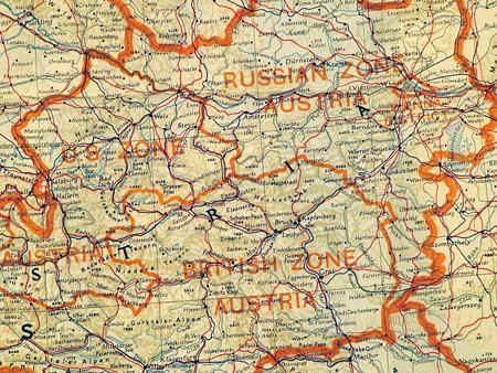
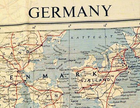
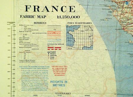
Original Item: Color silk maps dated 1953 showing France on one side and Germany divided into British/French/Russian and U.S. zones of occupation. An important historical map from the Cold War era. It was used by Commando and Air Crews in the event of capture. Marked "RESTRICTED". 36"x33".
- This product is available for international shipping.
- Eligible for all payments - Visa, Mastercard, Discover, AMEX, Paypal & Sezzle


We Buy Military Antiques
Our team expert buyers travels the world to pay fair prices for entire estate collections to singular items.
START SELLING TODAY