

Item Description
Original Item: Only One Available. The German invasion of Denmark, sometimes known as the Six Hour War due to the short length, was the German attack on Denmark on 9 April 1940, during the Second World War. The attack was a prelude to the invasion of Norway (German: Weserübung Nord, 9 April – 10 June 1940).
Denmark's strategic importance for Germany was limited. The invasion's primary purpose was to use Denmark as a staging ground for operations against Norway, and to secure supply lines to the forces about to be deployed there. An extensive network of radar systems was built in Denmark to detect British bombers bound for Germany.
The attack on Denmark was a breach of the non-aggression pact Denmark had signed with Germany less than a year earlier. The initial plan was to push Denmark to accept that German land, naval and air forces could use Danish bases, but Adolf subsequently demanded that both Norway and Denmark be invaded.
Denmark's military forces were inferior in numbers and equipment, and after a short battle were forced to surrender. After fewer than two hours of struggle, the Danish Prime Minister Thorvald Stauning stopped the opposition to the German attack, for fear that the Germans would bomb Copenhagen, as they had done with Warsaw during the invasion of Poland in September 1939. Due to communication difficulties, some Danish forces continued to fight, but after a further two hours, all opposition had stopped.
Lasting approximately 6 hours, the German ground campaign against Denmark was one of the shortest military operations of the Second World War.
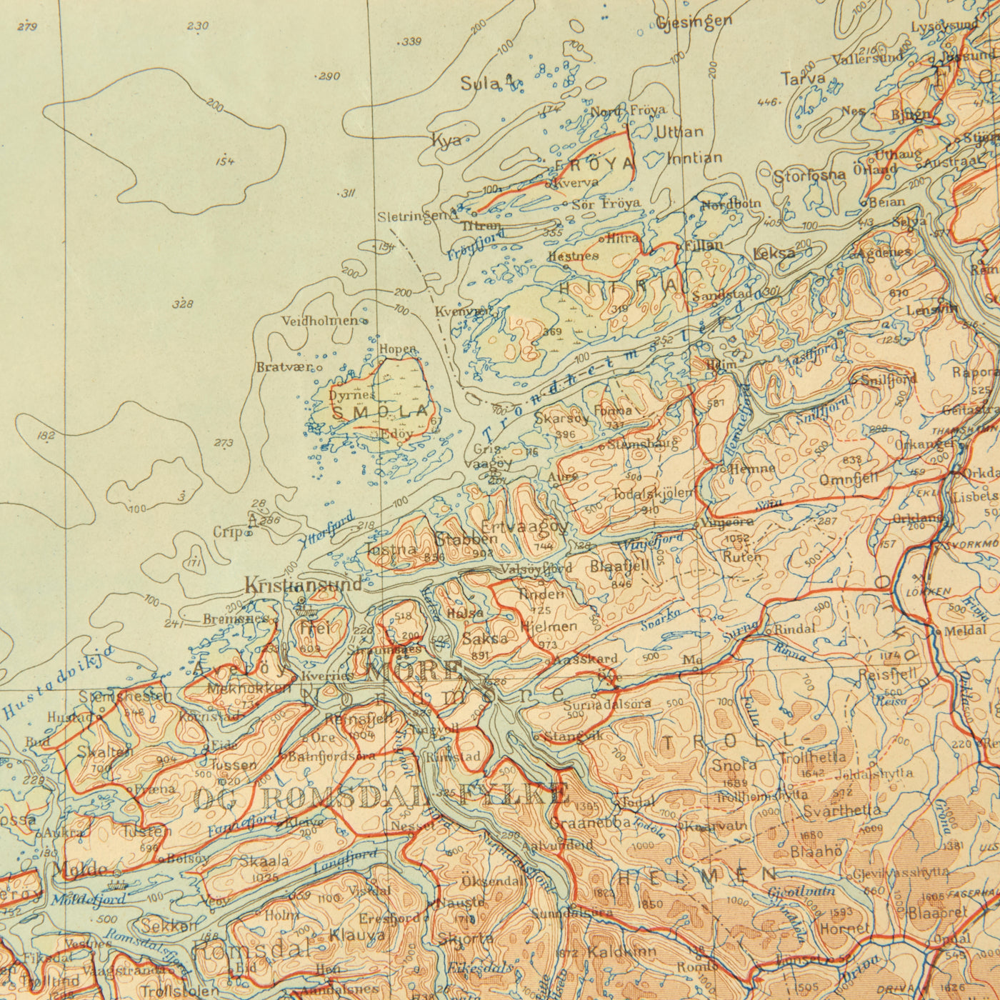
This is an excellent example of a completely original soft-laminated aviation map of Denmark. As was done with many Luftwaffe Fliegerkarte, this map is laminated on some sort of soft laminate making it waterproof and so it can be folded and unfolded many times without ripping. Because of the period German lamination, this map is still in very nice condition and completely readable.
The map does not have any date stamps visible. This 36” x 28 ½” map has roads, towns/cities, major highways, mountain ranges, bodies of water and other land identifiers featured on the map. The reverse side has a small 1:000 000 aeronautical map of the world.
- This product is available for international shipping. Shipping not available to: Australia, France, or Germany
- Due to legal restrictions this item cannot be shipped to Australia, France or Germany. This is not a comprehensive list and other countries may be added in the future.
- Not eligible for payment with Paypal or Amazon
YOU MAY ALSO LIKE