


Item Description
Original Item: Only One Available. The very map used by German bomber navigators during the Battle of Britain and the Blitz in WW2!
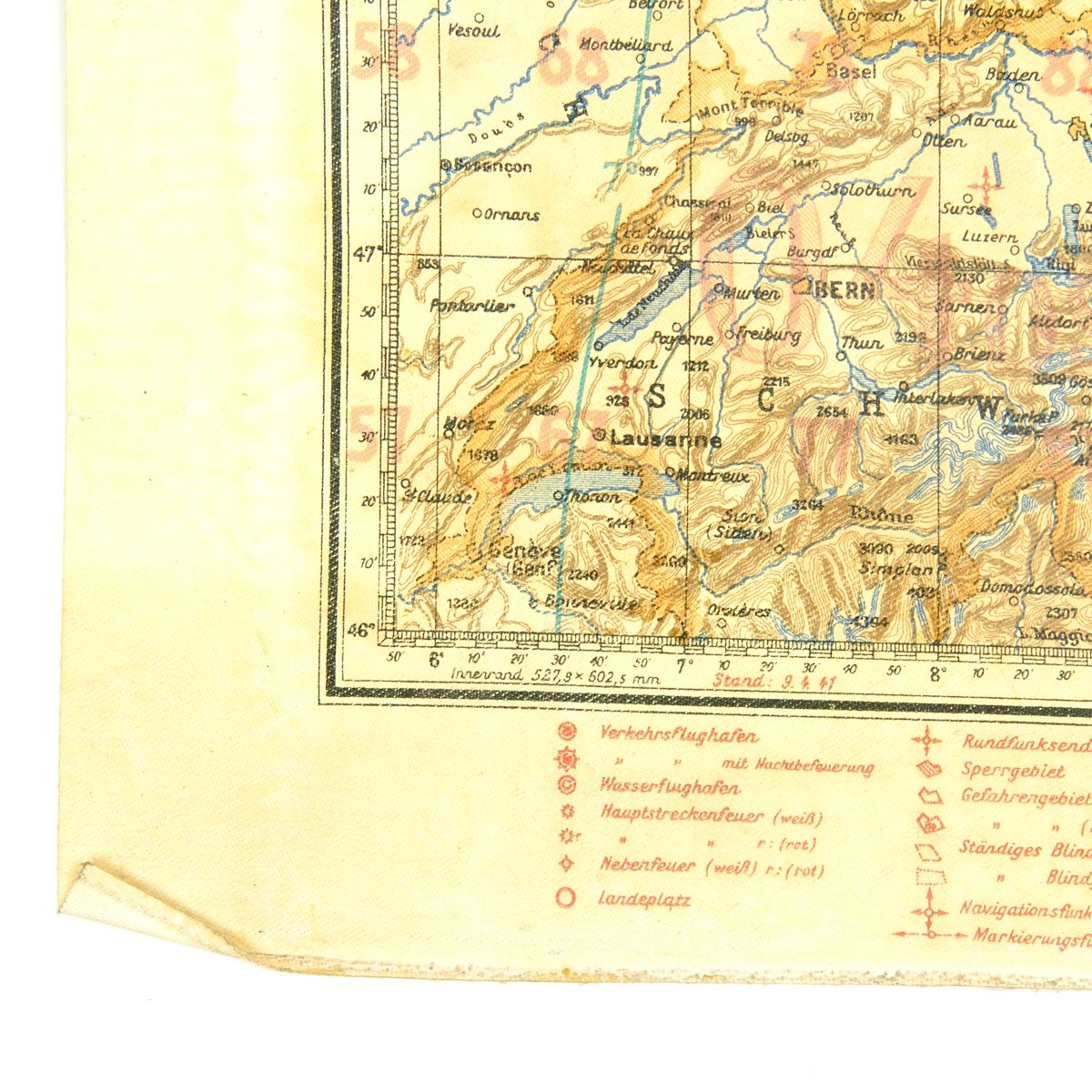
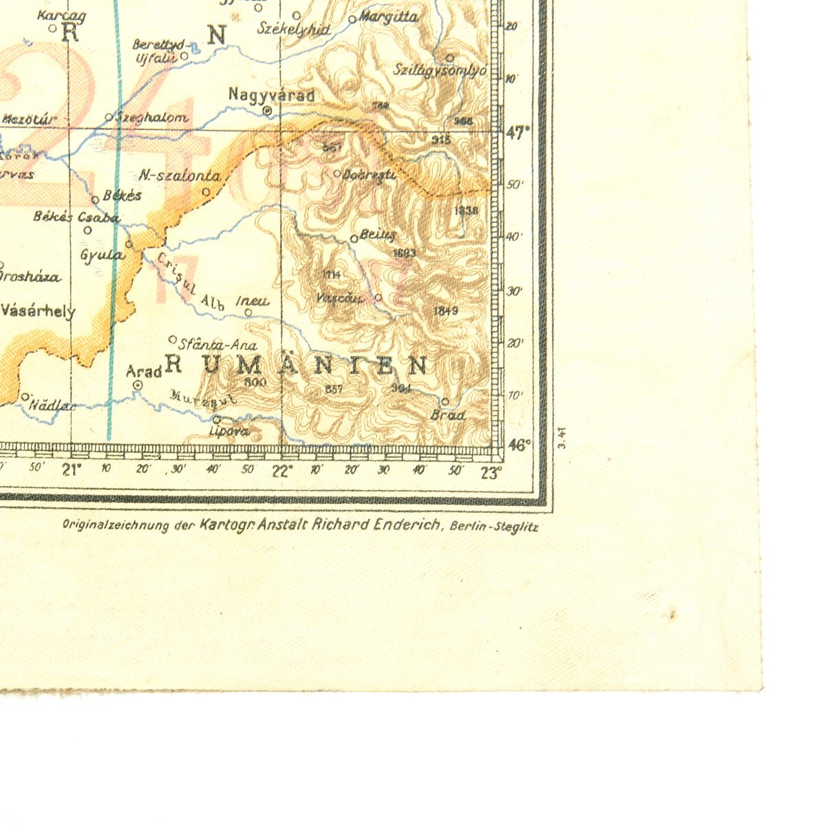
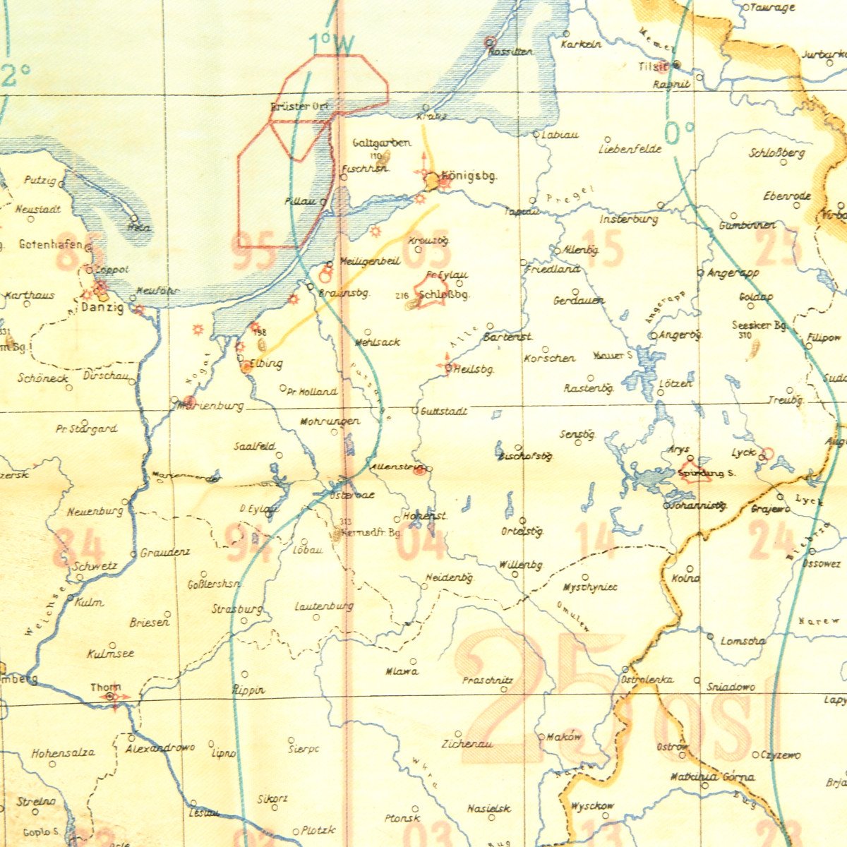
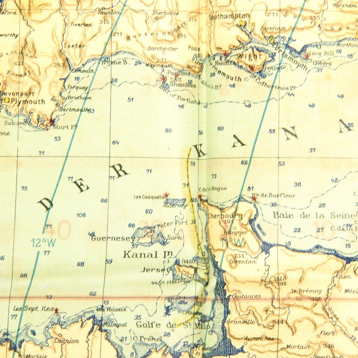
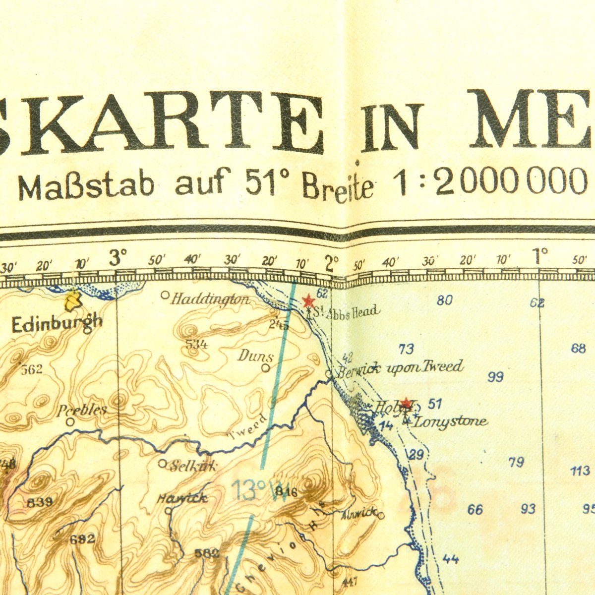
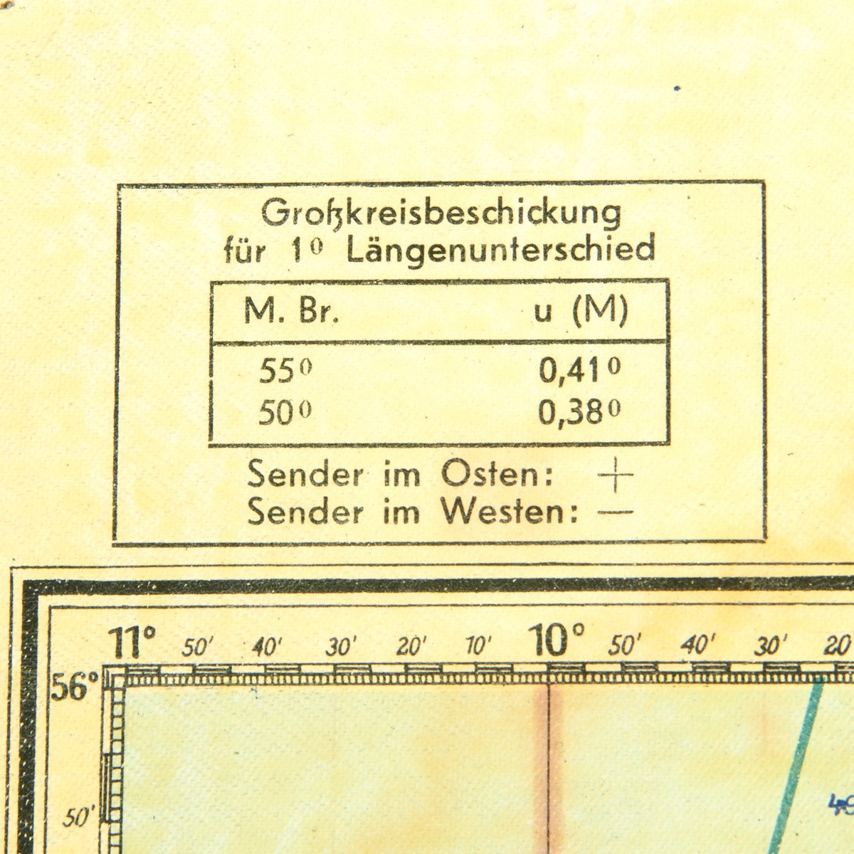
This is a wonderful waterproof map with Luftwaffe Eagle and Luft-Navigationskarte in Mercatorprojektion across the top. This double sided map is of England and Ireland, Northern France, Belgium and Holland on the front and the reverse is Germany, southern Denmark and parts of Holland.
This is an true air navigation map in Mercator projection and was printed in 1941. These maps were specifically produced for the Luftwaffe, and coordinates were different from the army and navy. The dates place this during the Battle of Britain which lasted from July 1940 to June 1941!
The map is in excellent condition with bright colors and no tears it measures 24 x 27.
- This product is available for international shipping. Shipping not available to: Australia, France, or Germany
- Due to legal restrictions this item cannot be shipped to Australia, France or Germany. This is not a comprehensive list and other countries may be added in the future.
- Not eligible for payment with Paypal or Amazon
YOU MAY ALSO LIKE